


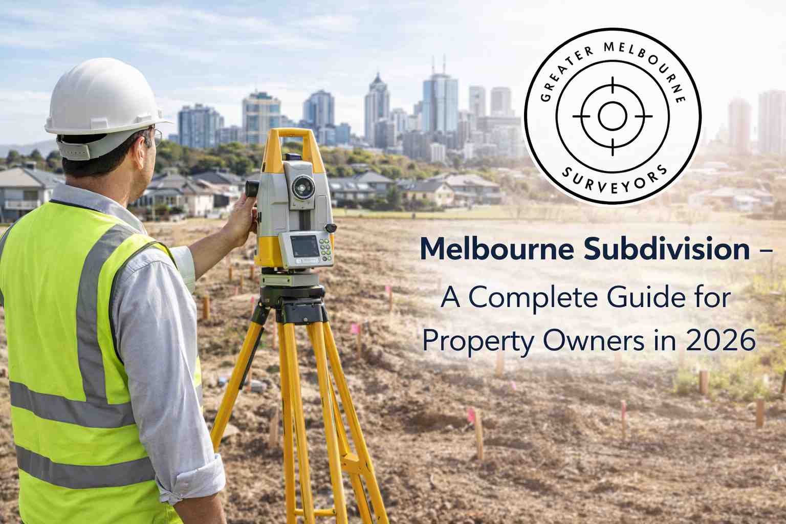
Every successful development project begins with careful planning and accurate site information. Whether constructing residential communities, commercial buildings, industrial estates, or infrastructure projects, survey planning plays a critical role in ensuring developments proceed safely, efficiently, and according to legal requirements. In growing urban regions such as Melbourne, professional survey planning has become an essential part of modern property and construction development.
Survey planning involves collecting, analyzing, and organizing land data before development begins. Professional surveyors work closely with developers, architects, engineers, builders, and planners to provide the accurate measurements and technical information needed for successful project design and construction.
As Melbourne continues to expand with new housing estates, commercial centres, and infrastructure projects, effective survey planning helps reduce risks, improve project coordination, and support long-term development success.
What Is Survey Planning for New Developments?
Survey planning is the process of organizing and conducting surveys to gather detailed information about a development site before construction or land subdivision begins. The collected data supports project design, council approvals, engineering work, and construction activities.
Survey planning helps identify important site conditions such as:
- Property boundaries
- Ground levels and contours
- Existing structures
- Drainage systems
- Utility services
- Easements and restrictions
- Access points
- Environmental features
Accurate survey planning ensures development teams have reliable information to make informed decisions throughout the project lifecycle.
Why Survey Planning Is Important for New Developments
Modern development projects involve complex planning requirements, legal regulations, and engineering standards. Survey planning helps manage these challenges effectively.
Accurate Property Boundaries
Boundary identification is one of the most important aspects of development planning. Surveyors confirm legal property limits before construction or subdivision begins.
Accurate boundaries help prevent:
- Encroachments
- Legal disputes
- Planning issues
- Construction alignment problems
Supporting Better Design
Architects and engineers rely on detailed survey data to design buildings, roads, drainage systems, and infrastructure suited to site conditions.
Good survey planning improves overall project efficiency and functionality.
Assisting Council Approvals
Planning permits and subdivision applications often require certified survey plans and technical documentation.
Professional survey planning helps streamline approval processes and demonstrates compliance with Victorian regulations.
Reducing Construction Risks
Early identification of site challenges such as drainage problems, utility conflicts, or slope conditions helps avoid costly construction delays.
Improving Infrastructure Coordination
Survey planning ensures roads, utilities, drainage systems, and buildings are positioned correctly and work efficiently together.
Types of Surveys Used in Development Planning
Different types of surveys may be required depending on the project size and complexity.
Boundary Surveys
Boundary surveys identify the exact legal limits of the property.
These surveys are essential before:
- Construction begins
- Land is subdivided
- Fencing is installed
- Property transactions occur
Feature and Level Surveys
Feature and level surveys record existing site conditions, including:
- Buildings
- Trees and vegetation
- Utility infrastructure
- Drainage systems
- Ground elevations
- Driveways and access points
This information supports architectural and engineering design.
Topographic Surveys
Topographic surveys map land contours, slopes, and elevation changes that may affect drainage, excavation, and construction planning.
Subdivision Surveys
Subdivision surveys divide land into separate legal lots for residential or commercial development.
Construction Set-Out Surveys
Set-out surveys guide builders during construction by marking precise building and infrastructure positions on-site.
Utility and Infrastructure Surveys
These surveys identify underground services such as water, sewer, electrical, and telecommunications infrastructure.
Environmental and Site Analysis Surveys
Some developments require environmental assessments and site analysis to identify vegetation, waterways, flooding risks, or protected areas.
The Survey Planning Process
Professional survey planning follows a structured process to ensure reliable results.
Initial Site Assessment
Surveyors inspect the property and review development requirements, title records, and planning controls.
Data Collection
Using advanced surveying equipment, surveyors gather accurate site measurements and feature information.
Data Analysis
Survey data is analyzed to identify development opportunities, restrictions, and potential risks.
Survey Plan Preparation
Detailed survey plans and digital models are prepared for architects, engineers, planners, and council applications.
Project Coordination
Surveyors work closely with project teams throughout the planning and construction process.
Ongoing Verification
Additional surveys may be conducted during construction to confirm alignment, levels, and compliance.
Technology Used in Modern Survey Planning
Modern surveying technology has significantly improved planning accuracy and project efficiency.
GPS and GNSS Systems
High-precision GPS systems provide accurate positioning data quickly across large development sites.
Total Stations
Electronic total stations measure distances, angles, and elevations with exceptional precision.
Drone Mapping
Drones capture aerial imagery and topographic data for site analysis and planning.
3D Laser Scanning
Laser scanning creates highly detailed digital models of land and structures.
CAD and BIM Integration
Survey data integrates with CAD and Building Information Modeling (BIM) systems for improved project coordination.
Geographic Information Systems (GIS)
GIS technology helps manage and analyze spatial data for urban planning and infrastructure projects.
Benefits of Professional Survey Planning
Professional survey planning provides several important advantages for developers and property owners.
Improved Development Accuracy
Accurate site data supports better planning and design decisions.
Faster Project Approvals
Certified survey documentation helps speed up planning permit and subdivision approvals.
Reduced Construction Costs
Identifying site issues early helps avoid expensive delays and redesigns.
Better Risk Management
Survey planning helps detect legal, environmental, and infrastructure challenges before development begins.
Enhanced Project Coordination
Reliable survey information improves communication between architects, engineers, builders, and councils.
Common Challenges in Development Survey Planning
New developments often involve several planning challenges.
Complex Site Conditions
Sloping land, drainage issues, or irregular lot shapes may affect development potential.
Utility Infrastructure Conflicts
Underground services must be identified and coordinated carefully.
Environmental Restrictions
Flood zones, vegetation controls, and heritage overlays may impact planning approvals.
Urban Density Requirements
Developments in established suburbs often require careful design to meet council density and neighbourhood character guidelines.
Professional surveyors help identify and manage these challenges efficiently.
Choosing the Right Surveyor for Development Projects
Selecting experienced survey professionals is essential for successful project outcomes.
Local Experience
Choose surveyors familiar with Melbourne’s planning regulations and development standards.
Licensed Professionals
Always work with licensed surveyors who comply with Victorian legal requirements.
Advanced Technology
Modern equipment improves accuracy and project efficiency.
Strong Communication
Surveyors should work closely with developers, engineers, architects, and builders.
Comprehensive Services
Many developers prefer firms offering complete surveying solutions from planning through construction.
Conclusion
Survey planning for new developments in Melbourne is a critical part of successful property and infrastructure projects. From boundary identification and site analysis to subdivision planning and construction support, professional surveyors provide the accurate information needed for efficient, compliant, and safe development outcomes.
As Melbourne continues to grow and evolve, effective survey planning will remain essential for managing urban expansion, reducing development risks, and supporting high-quality construction projects. By investing in professional surveying services early in the planning process, developers and property owners can improve project efficiency, reduce costs, and achieve long-term development success.

