


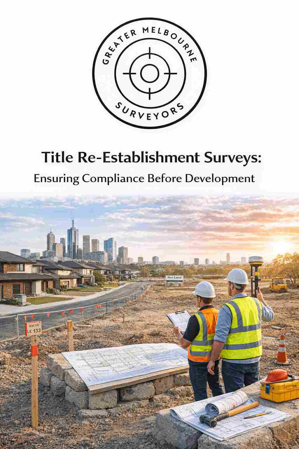
Residential subdivision has become one of the most popular property development strategies in Melbourne. With rising land values, growing population demand, and expanding urban development, many property owners and investors are exploring subdivision opportunities to maximize the value of their land. Whether creating dual occupancies, townhouse developments, or multi-lot residential estates, successful subdivision projects require careful planning, professional surveying, and compliance with local council regulations.
Residential subdivision planning involves much more than simply dividing land into smaller blocks. It requires detailed analysis of zoning requirements, site conditions, infrastructure access, and legal boundaries. Professional planners, surveyors, engineers, and developers work together to ensure subdivision projects are efficient, profitable, and fully compliant with Victorian planning laws.
As Melbourne continues to grow, residential subdivision planning remains an essential part of urban development and housing expansion.
What Is Residential Subdivision Planning?
Residential subdivision planning is the process of dividing a parcel of residential land into two or more separate lots for development or sale. Each new lot receives its own legal title and can be developed independently.
Subdivision planning includes evaluating the property’s development potential, preparing designs, obtaining council approvals, and coordinating infrastructure requirements.
Residential subdivisions commonly include:
- Dual occupancy developments
- Townhouse projects
- Unit developments
- Multi-lot residential estates
- Backyard subdivisions
- Corner block subdivisions
Proper planning is essential to ensure the project meets local zoning rules, access requirements, and infrastructure standards.
Why Residential Subdivision Is Popular in Melbourne
Melbourne’s growing population and housing demand have created strong interest in residential subdivisions across both established suburbs and growth corridors.
Increasing Property Values
Subdividing land can significantly increase property value by creating multiple saleable lots from a single property.
Higher Housing Demand
Melbourne’s expanding population continues to increase demand for new homes, townhouses, and medium-density developments.
Better Land Utilization
Subdivision allows property owners to maximize the use of underutilized land while supporting urban housing supply.
Investment Opportunities
Many investors use subdivision projects to generate profits through land sales, new housing developments, or long-term rental income.
Urban Development Growth
Councils and planners often encourage medium-density housing developments in suitable urban areas to support sustainable city growth.
Key Steps in Residential Subdivision Planning
Successful subdivision projects require careful planning and professional guidance throughout the development process.
Site Feasibility Assessment
The first step is determining whether the property is suitable for subdivision. Factors considered include:
- Land size
- Zoning regulations
- Access requirements
- Easements
- Site slope
- Existing structures
- Infrastructure availability
Professional surveyors and town planners help assess the property’s development potential.
Boundary and Feature Surveys
Licensed surveyors conduct detailed surveys to identify:
- Property boundaries
- Existing buildings
- Trees and vegetation
- Utility services
- Drainage systems
- Ground levels
This information is used during the design and planning stages.
Concept Design and Layout Planning
Architects and planners prepare subdivision layouts showing proposed lot sizes, building positions, driveways, open spaces, and infrastructure connections.
Efficient design is important for maximizing land use while meeting council requirements.
Town Planning and Permit Applications
Subdivision projects in Melbourne require planning approval from the local council. Planning applications include:
- Subdivision plans
- Site analysis
- Engineering reports
- Drainage plans
- Environmental assessments
Councils review applications to ensure compliance with zoning and development regulations.
Infrastructure and Service Connections
Subdivision projects may require upgrades or installation of:
- Water connections
- Sewer systems
- Drainage infrastructure
- Electricity services
- Road access
- Telecommunications
Engineers and contractors coordinate infrastructure works before final approval.
Final Survey and Certification
After construction and infrastructure works are completed, surveyors prepare final subdivision plans for certification and title registration.
New Title Registration
The subdivision is officially registered with the land titles office, creating separate legal titles for each lot.
Important Factors in Residential Subdivision Planning
Several important considerations affect the success of subdivision projects in Melbourne.
Zoning and Planning Regulations
Every property falls within a zoning category that determines development possibilities. Local councils also apply overlays and planning controls that may affect subdivision approval.
Access and Driveways
Each new lot must have safe and legal vehicle access. Corner blocks often provide better subdivision opportunities due to easier driveway design.
Minimum Lot Size
Councils may require minimum lot sizes and private open space provisions for residential developments.
Drainage and Infrastructure
Proper drainage and utility services are essential for subdivision approval and long-term property functionality.
Neighbourhood Character
Councils often assess whether new developments fit the surrounding neighbourhood character and housing style.
The Role of Surveyors in Residential Subdivision Planning
Surveyors are one of the most important professionals involved in subdivision projects.
Boundary Identification
Surveyors confirm exact property boundaries and identify easements or restrictions affecting development.
Feature and Level Surveys
Detailed site surveys provide essential information for architects, engineers, and planners.
Subdivision Plan Preparation
Surveyors prepare legal subdivision plans required for council approval and title registration.
Construction Set-Out Surveys
During construction, surveyors mark building positions, levels, and infrastructure alignments on-site.
Final Certification
Surveyors complete final documentation needed for subdivision certification and new title creation.
Technology Used in Modern Subdivision Planning
Modern surveying and planning technology improves project efficiency and accuracy.
GPS Surveying Systems
High-precision GPS equipment provides accurate site measurements quickly.
Drone Mapping
Drones capture aerial imagery and topographic data for subdivision planning and site analysis.
CAD and BIM Software
Digital drafting systems improve design accuracy and project coordination.
3D Site Modeling
Three-dimensional modeling helps visualize subdivision layouts and infrastructure planning.
Benefits of Professional Residential Subdivision Planning
Working with experienced professionals (https://greatermelbournesurveyors.com.au/)
offers several advantages.
- Improved project feasibility
- Faster council approvals
- Better land utilization
- Reduced legal risks
- Increased property value
- Accurate development planning
- Higher long-term investment returns
Professional planning helps avoid costly delays and development mistakes.
Conclusion
Residential subdivision planning in Melbourne plays a major role in supporting urban growth and housing development. Whether you are a homeowner looking to subdivide your backyard or an investor planning a multi-lot development, proper planning and professional guidance are essential for project success.
From site feasibility assessments and surveying to council approvals and final title registration, every stage of the subdivision process requires careful coordination and technical expertise. By working with experienced surveyors, planners, and development professionals, property owners can unlock the full potential of their land while contributing to Melbourne’s growing residential landscape.

